Favorite Hikes - Ramshorn Peak
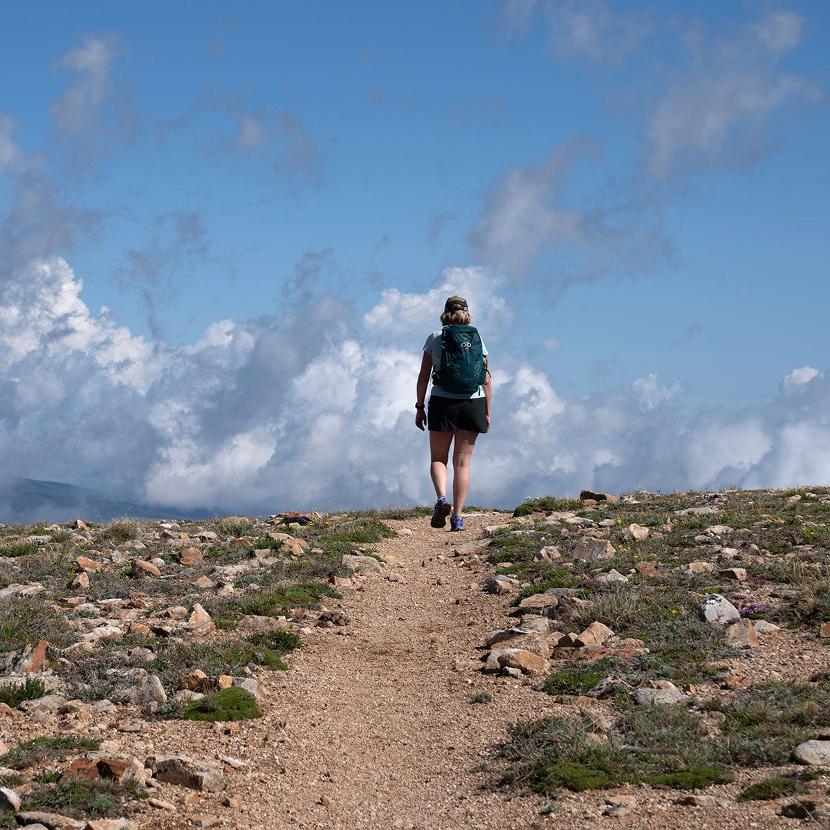
If you’re looking for a challenging day hike with panoramic views and good opportunities for wildlife sightings, Ramshorn Peak is the hike for you. Drive to the end of Tom Miner Basin on a well-maintained gravel road to the trailhead located at the upper end of the campground. Not far from the campground, a spur trail leads to an interpretive area for the Gallatin Petrified Forest.
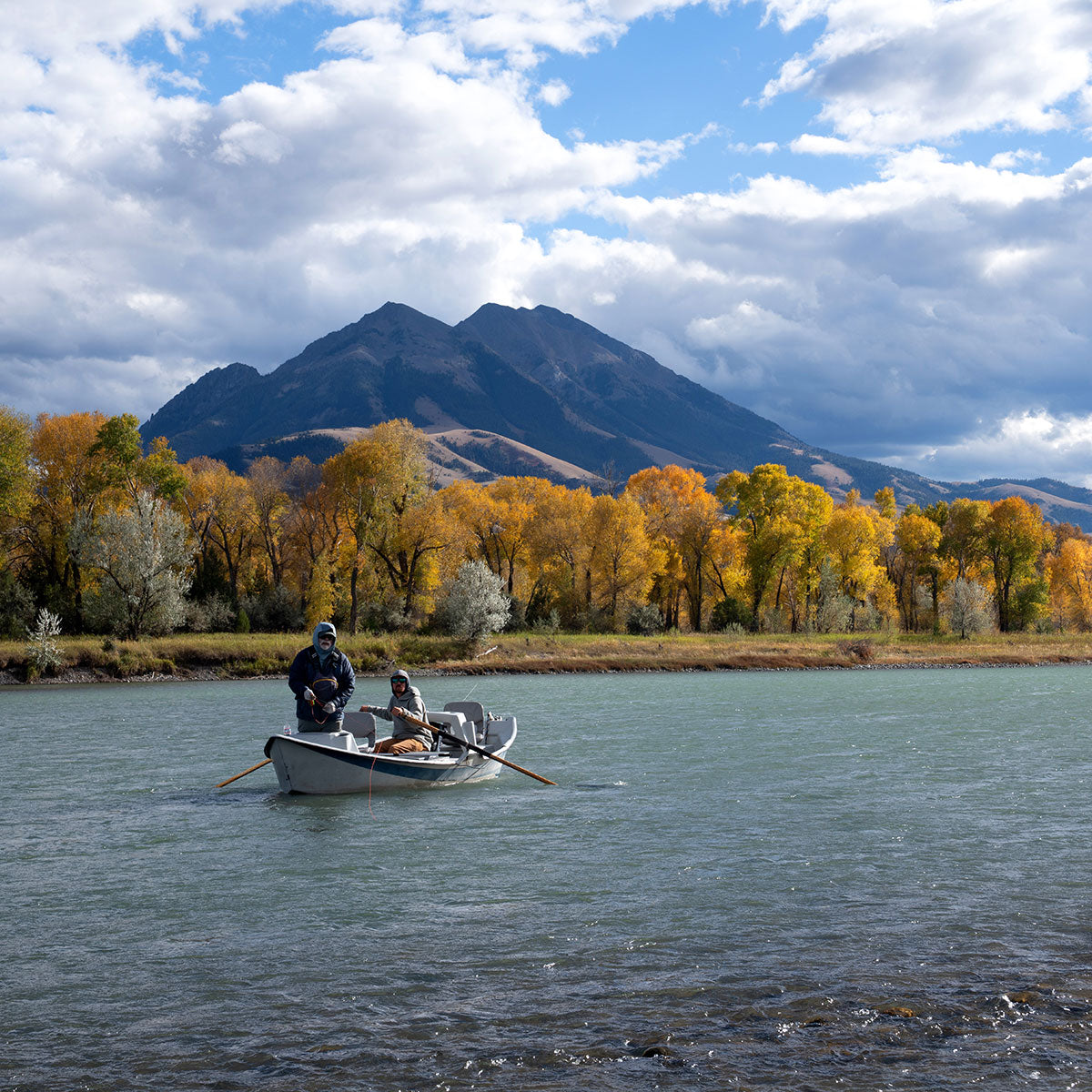
Continue up the main trail along Trail Creek to Buffalo Horn Pass. At the pass, turn right (to the north,) at an obvious trail junction and follow a steep, sometimes loose, trail to the 10,289’ summit. At the summit, your efforts will be rewarded by views of Ramshorn Lake at the foot of Fortress Mountain with distant views of Electric Peak and the Taylor-Hilgard area to the south and southwest, Sphinx Mountain and Lone Mountain to the west, and the Yellowstone River valley and Absaroka Range to the northeast, with the Crazies to the far north. Be on the lookout for Bighorn sheep, which seem to be faring well locally. This area is also grizzly bear country, so be aware and bring your bear spray.
The route climbs nearly 3,200 feet in just over four miles, so hiking poles come in handy, especially near the summit. Remember to tread lightly and leave no trace.
Download our summary and map here, feel free to print!
Don't have a printer at home? Come into the shop to pick up a copy of our map and trail description.
Here's how to get to the trailhead: