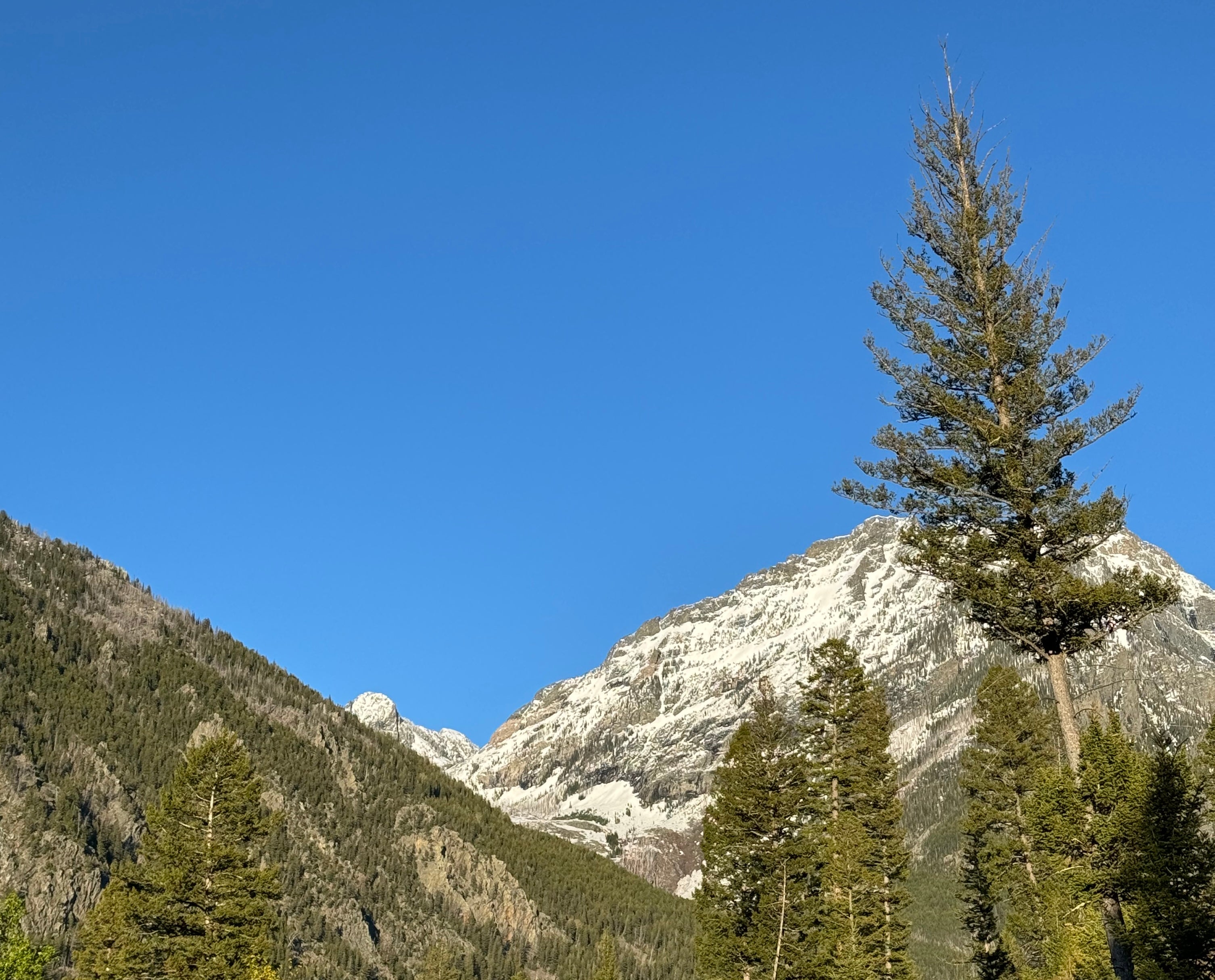
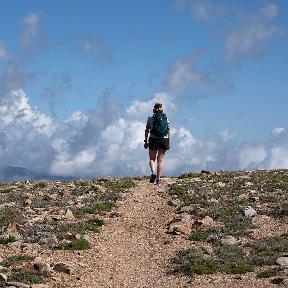
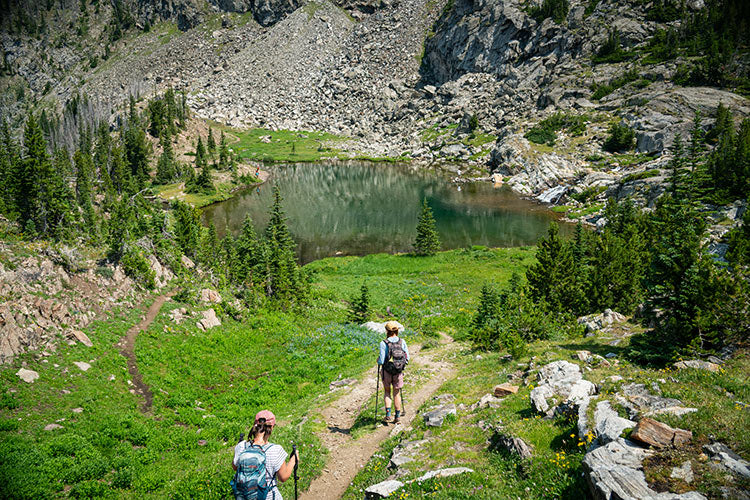
With the recent warm weather, folks are wanting to get outside and we are getting lots of questions regarding the status of our local trails. Here’s a quick update from our intrepid hiker friend, Steve Caldwell. Conditions are changing by the day. If you happen to get out, let us know about your experience.
SUCE CREEK LOOP
The creek bottom portion (Forest Service Trail 44) is mostly snow-free, with a few shallow drifts, which are quickly disappearing. Suce Creek is running high, so plan to either make the crossing via the downed log or bring some wading shoes (Crocs are ideal.) The ridge portion (FS 450) is completely dry all the way to the Livingston Peak trail junction and early wildflowers are at peak. Look for Pasqueflowers, Shooting Stars, Springbeauty, and others along the ridge. Downed trees are minimal.
SOUTH FORK DEEP CREEK
You can expect a dry trail almost to the house rock at the western end of an obvious bench, with post-holing beyond that. There are plenty of spring flowers in the first quarter mile, including Yellowbells, Shooting Stars, and Larkspur, with Glacier Lilies and Oregon Grape a little higher up. This area is still recovering from the Pine Creek Fire of 2012 and is revegetating quickly, but burned trees are still coming down, especially in the face of last winter’s wind events.
PINE CREEK
The trail to the falls is snow-free, but a little muddy in the usual spots near the beginning of the trail. Above the falls, the trail is easily hikeable (barring a few boot- to calf-deep drifts) up to the logjam crossing. This trail gets a lot of use, so be sure not to cut switchbacks--and please remember to carry out your bags of dog poop!
PASSAGE CREEK FALLS
The trail is dry all the way to the falls, barring a few short sections of standing water. This drainage is recovering well after the 2007 Wicked Fire. Needless to say, the view of the falls is spectacular at this time of year.
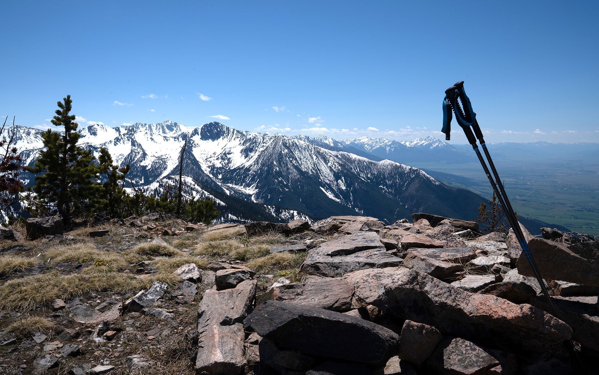
ANDERSON RIDGE
This trail is a great choice for spring hikes, as the trail dries very early in the season, and the trail along the Mill Creek/East Mill Creek divide provides great views of the Mill Creek drainage from Mount Wallace to Chico Peak. You can access the ridge using a number of trails, with East Mill Creek via the Highland Trail being the most scenic, but it’s one of the last to lose late drifts. East Dam Creek is another early option, but will need a little time to lose drifts in sheltered spots past the first mile of trail. The best current choice is Jomaha Creek, which has been snow-free for at least a month. Be sure to check this one out before summer, as access to water is limited along JomahaCreek, and almost non-existent once you gain the ridge. This area is also recovering from fire, so there’s not much shade--and you’ll need to check for ticks for a few more weeks.
Remember to Leave no Trace and carry bear spray. Before you head out, stop in our store on West Park Street for great gear, answers to your questions, and further suggestions on other hiking destinations.
Enjoy getting outside!